Kontakt
 Kako kupovati
Dostava
Savjetnik za kupnju
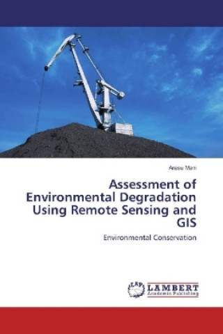
Assessment of Environmental Degradation Using Remote Sensing and GIS
Environmental Conservation
 Engleski
 108 b
108 b
30 dana za povrat kupljenih proizvoda
Kupci su kupili i


 /
/
 Meki uvez
 16.08
€
16.08
€


This research is concentrated on the impacts of coal mining and seam fires like land degradation, increased surface temperature, and methane emission using remote sensing. Temporal data sets of three years (1994, 2004, and 2014) were compared and changes were predicted for 2024 using CA MARKOV modelling for LULC. Using thermal remote sensing techniques Landsat5(TM) and Landsat 8(TIRS&OLI) change in surface temperature over the years was analyzed and statistical approach was employed to quantify the relation between Mining area temperature and other land use/land cover. The analysis was showing high temperature in coal mining areas when compared to the other land uses, and when compared to 1994, 2004 and 2014 min-maximum temperature also increased drastically. CMHI analysis also gave similar results for temperature in case of different land use and land cover classes. Methane is a greenhouse gas and its emission a major causative factor for global warming. Coal mining activities in Jharia lead to methane leakages in different parts of Jharia. It was detected using Hyperion data and normalized hydrocarbon index.


Informacije o knjizi
Engleski

Poklonite ovu knjigu još danas
To je jednostavno
1 Dodajte knjigu u košaricu i odaberite isporuku kao poklon 2 Zauzvrat ćemo vam poslati kupon 3 Knjiga dolazi na adresu poklonoprimcaMoglo bi vas zanimati i


 /
Meki uvez
26.90
€
/
Meki uvez
26.90
€