
 Kontakt
 Kako kupovati
Dostava
Savjetnik za kupnju
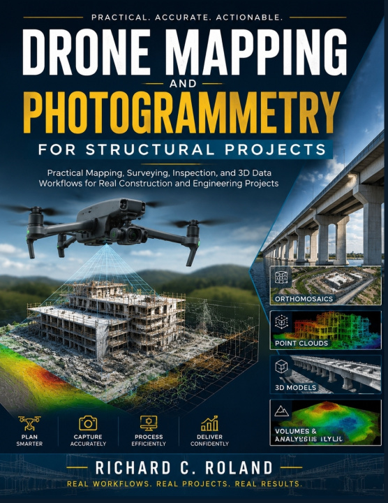
Drone Mapping and Photogrammetry for Structural Projects
Practical Mapping, Surveying, Inspection, and 3D Data Workflows for Real Construction and Engineering Projects.
 Engleski
 59 b
59 b
 Novo
Novo
Do 30 dana za povrat

How do drone images become accurate maps, 3D models, measurements, and professional inspection reports?
Drone mapping is transforming the way construction, engineering, surveying, and inspection projects collect and use data. However, getting valuable results requires more than simply flying a drone. You need to understand flight planning, image capture, photogrammetry, data processing, accuracy, and professional reporting.
Drone Mapping and Photogrammetry for Structural Projects is a practical guide that helps you understand the complete workflow behind modern drone-based projects. Whether you want to learn how to do drone mapping, explore drone photogrammetry, improve your drone survey training, or understand construction drone technology, this guide provides the knowledge needed to work with real project data.
Inside, you will learn how to:
• Plan drone missions for construction sites, structural inspections, and surveying projects.
• Understand cameras, sensors, RTK/PPK systems, and essential field equipment.
• Apply photogrammetry techniques to create orthomosaics, point clouds, and 3D models.
• Process drone data for GIS, CAD, BIM, and engineering workflows.
• Capture useful inspection data for buildings, bridges, roofs, and other structures.
• Create professional reports and deliverables for real clients.
Designed for beginners, drone operators, construction professionals, engineering students, and anyone interested in professional drone services, this guide helps you understand the skills, workflows, and practices behind successful drone mapping projects.
Start building your knowledge of drone surveying, photogrammetry, structural inspection, and 3D data workflows today.


Informacije o knjizi
Engleski

Poklonite ovu knjigu još danas
To je jednostavno
1 Dodajte knjigu u košaricu i odaberite isporuku kao poklon 2 Zauzvrat ćemo vam poslati kupon 3 Knjiga dolazi na adresu poklonoprimcaDobar dan! Ja sam Libroamiko, vaš književni savjetnik.
Kako vam mogu pomoći?