
 Kontakt
 Kako kupovati
Dostava
Savjetnik za kupnju
Flash Flood Spatial Analysis Using GIS and Remote Sensing Techniques
 Engleski
 78 b
78 b
Do 30 dana za povrat
Kupci su kupili i

 /
/
 Meki uvez
 10.81
€
10.81
€




 /
Meki uvez
53.30
€
/
Meki uvez
53.30
€



 /
Meki uvez
17.19
€
/
Meki uvez
17.19
€







 /
Meki uvez
34.89
€
/
Meki uvez
34.89
€

 /
Meki uvez
20.73
€
/
Meki uvez
20.73
€




 /
Meki uvez
29.43
€
/
Meki uvez
29.43
€

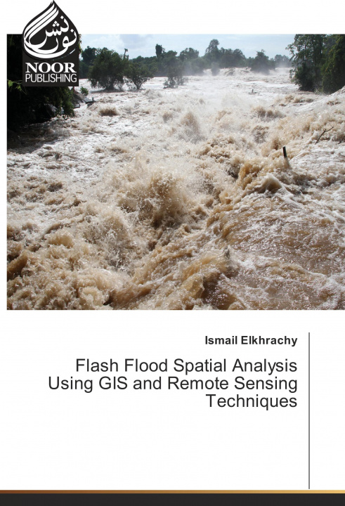
The "Flash Flood Spatial Analysis Using GIS and Remote Sensing Techniques" is a readable text that presents basic concepts and practical material in each of the areas remote sensing and Geographic information system. It is written primarily for students and researchers who are interested in studying flash flood using satellite images. The book contains a case study in Najran city, KSA. Although the book has descriptions of some software such as ArcGIS and Hec-Ras which are used to get water surface during any flash flood event. Moreover, it contains how to use SAR images to calibrate obtained results from Hydrology investigations.


Informacije o knjizi
Engleski

Poklonite ovu knjigu još danas
To je jednostavno
1 Dodajte knjigu u košaricu i odaberite isporuku kao poklon 2 Zauzvrat ćemo vam poslati kupon 3 Knjiga dolazi na adresu poklonoprimcaMoglo bi vas zanimati i
 /
Meki uvez
15.77
€
/
Meki uvez
15.77
€




 /
Meki uvez
16.18
€
/
Meki uvez
16.18
€





 /
Tvrdi uvez
337.25
€
/
Tvrdi uvez
337.25
€

 /
Meki uvez
46.83
€
/
Meki uvez
46.83
€









 /
Meki uvez
17.79
€
/
Meki uvez
17.79
€
Dobar dan! Ja sam Libroamiko, vaš književni savjetnik.
Kako vam mogu pomoći?