
 Kontakt
 Kako kupovati
Dostava
Savjetnik za kupnju
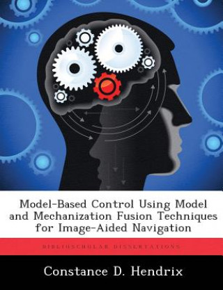
Model-Based Control Using Model and Mechanization Fusion Techniques for Image-Aided Navigation
 Engleski
 45 b
45 b
Do 30 dana za povrat
Kupci su kupili i



 /
/
 Tvrdi uvez
 6.86
€
6.86
€






 /
Meki uvez
30.50
€
/
Meki uvez
30.50
€


Unmanned aerial vehicles are no longer used for just reconnaissance. Current requirements call for smaller autonomous vehicles that replace the human in high-risk activities. Many times these activities are performed in GPS-degraded environments. Without GPS providing today's most accurate navigation solution, autonomous navigation in tight areas is more difficult. Today, image-aided navigation is used and other methods are explored to more accurately navigate in such areas (e.g., indoors). This thesis explores the use of inertial measurements and navigation solution updates using cameras with a model-based Linear Quadratic Gaussian controller. To demonstrate the methods behind this research, the controller will provide inputs to a micro-sized helicopter that allows the vehicle to maintain hover. A new method for obtaining a more accurate navigation solution was devised, originating from the following basic setup.


Informacije o knjizi
Engleski
Kategorija

Poklonite ovu knjigu još danas
To je jednostavno
1 Dodajte knjigu u košaricu i odaberite isporuku kao poklon 2 Zauzvrat ćemo vam poslati kupon 3 Knjiga dolazi na adresu poklonoprimcaMoglo bi vas zanimati i
 /
Meki uvez
24.03
€
/
Meki uvez
24.03
€







 /
Meki uvez
24.33
€
/
Meki uvez
24.33
€








 /
Meki uvez
20.19
€
/
Meki uvez
20.19
€


 /
Meki uvez
25.85
€
/
Meki uvez
25.85
€




Dobar dan! Ja sam Libroamiko, vaš književni savjetnik.
Kako vam mogu pomoći?