Besplatna dostava putem Box Now paketomata i Overseas kurirske službe iznad 69,99 €.
Pridružite se zajednici ljubitelja knjige iz cijelog svijeta i ostvarite mnoštvo pogodnosti.
Izradite besplatni račun
Besplatna dostava Overseas kurirskom službom iznad 69.99 €
DPD kurir 3.99 €
DPD točka 3.49 €
GLS Kurir 4.99 €
GLS paketomat 3.99 €
Hrvatska pošta 4.99 €
Dostava Overseas 4.99 €
Box Now 4.49 €
 Kontakt
 Kako kupovati
Pomoć
Dostava
DPD kurir 3.99 €
DPD točka 3.49 €
GLS Kurir 4.99 €
GLS paketomat 3.99 €
Hrvatska pošta 4.99 €
Dostava Overseas 4.99 €
Box Now 4.49 €
Besplatna dostava Overseas kurirskom službom iznad 69.99 €
Savjetnik za kupnju
Ovdje smo zbog vas!
+385 21 784 0072
Moj račun
▸
Prazno :-(
0
Besplatna dostava putem Box Now paketomata i Overseas kurirske službe iznad 69,99 €.
Remote Sensing and GIS
Jezik
 Engleski
Engleski
Knjiga
Meki uvez
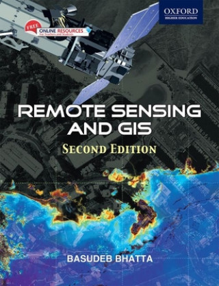
Beginning with the history and basic concepts of remote sensing and GIS, the book gives an exhaustiv...
Cijeli opis
Libristo kod: 04521115
?
 109 b
109 b
109 b
44.77
€
50 % šanse
Pretražit ćemo cijeli svijet
Kada ću dobiti knjigu?
Do 30 dana za povrat
Kupci su kupili i


 /
/
 Meki uvez
 13.61
€
13.61
€


Beginning with the history and basic concepts of remote sensing and GIS, the book gives an exhaustive coverage of optical, thermal and microwave remote sensing, global navigation satellite systems (such as GPS), digital photogrammetry, visual image analysis, digital image processing, spatial and attribute data model, geospatial analysis, and planning, implementation and management of GIS. It also presents the modern trends of remote sensing and GIS with an illustrated discussion on its numerous applications. The appendices provide the prerequisites required for understanding remote sensing and GIS technology.
Glumica
&
Poliglotkinja
EWA KASP
za
Pusti video


Libristo ima najveći izbor literature na stranim jezicima. Zato svoje knjige kupujem ovdje.
Informacije o knjizi
Puni naziv
Remote Sensing and GIS
Autor
Basudeb Bhatta
Jezik
Engleski
Engleski
Uvez
Knjiga - Meki uvez
Datum izdanja
2011
Broj stranica
752
EAN
9780198072393
ISBN
0198072392
Libristo kod
04521115
Nakladnici
OUP India
Težina
1080
Dimenzije
244 x 177 x 30

Poklonite ovu knjigu još danas
To je jednostavno
1 Dodajte knjigu u košaricu i odaberite isporuku kao poklon 2 Zauzvrat ćemo vam poslati kupon 3 Knjiga dolazi na adresu poklonoprimcaMoglo bi vas zanimati i


 /
Tvrdi uvez
37.71
€
/
Tvrdi uvez
37.71
€


Književni savjetnik Libroamiko
Korištenjem ovog chata komunicirate s generativnom umjetnom inteligencijom. Korištenjem istog također pristajete na obradu osobnih podataka.
Dobar dan! Ja sam Libroamiko, vaš književni savjetnik.
Kako vam mogu pomoći?
Dobar dan, ja sam Libroamiko, mogu li vam pomoći?