Besplatna dostava putem Box Now paketomata i Overseas kurirske službe iznad 69,99 €.

Pridružite se zajednici ljubitelja knjige iz cijelog svijeta i ostvarite mnoštvo pogodnosti.
Izradite besplatni račun
Besplatna dostava Overseas kurirskom službom iznad 69.99 €
DPD kurir 3.99 €
DPD točka 3.49 €
GLS Kurir 4.99 €
GLS paketomat 3.99 €
Hrvatska pošta 4.99 €
Dostava Overseas 4.99 €
Box Now 4.49 €
 Kontakt
 Kako kupovati

Pomoć
Dostava
DPD kurir 3.99 €
DPD točka 3.49 €
GLS Kurir 4.99 €
GLS paketomat 3.99 €
Hrvatska pošta 4.99 €
Dostava Overseas 4.99 €
Box Now 4.49 €
Besplatna dostava Overseas kurirskom službom iznad 69.99 €
Savjetnik za kupnju
Ovdje smo zbog vas!
+385 21 784 0072
Moj račun
▸
Prazno :-(
0
Besplatna dostava putem Box Now paketomata i Overseas kurirske službe iznad 69,99 €.
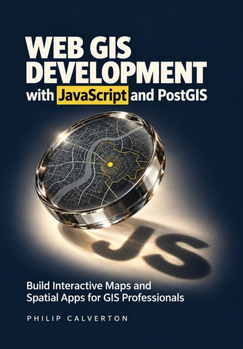
Web GIS Development with JavaScript and PostGIS
Build Interactive Maps and Spatial Apps for GIS Professionals
Jezik
 Engleski
Knjiga
Meki uvez
Build web maps that people can search, edit, and use to answer real location questions.You know the...
Cijeli opis
Libristo kod: 54215873
?
 75 b
 Novo
75 b
Novo
30.85
€
Vanjske zalihe
Šaljemo za 9-13 dana
Do 30 dana za povrat

Build web maps that people can search, edit, and use to answer real location questions.
You know the value of GIS data. Now learn how to turn it into an interactive application that helps people find facilities, compare locations, and understand the results.
Web GIS Development with JavaScript and PostGIS takes you from your first Leaflet map to a connected facility finder and site-screening project. You'll build the browser interface, connect it to a spatial database through a Node.js and Express API, and learn how to check that the application is answering the right question.
As you build, you'll learn to:
- Make geographic data easier to use. Add search, filters, popups, and coordinated results so users can find relevant information quickly.
- Check your spatial answers. Use spatial SQL in PostGIS to measure distances, identify nearby facilities, and avoid mistakes with coordinates, units, and geometry.
- Explain site rankings. Apply coverage zones, exclusions, and transparent scoring so users can see why a candidate qualifies-and how changing priorities affects the shortlist.
- Protect data during editing. Validate inputs, control access, and handle conflicting changes without silently overwriting another person's work.
- Keep growing maps responsive. Use spatial indexes, query plans, clustering, and request cancellation to reduce unnecessary work.
- Prepare for a dependable handover. Learn practical testing, Docker deployment, HTTPS configuration, backup, and recovery workflows.
Written for GIS professionals, analysts, students, and developers moving into web mapping, this guide assumes basic computer skills and introduces the JavaScript needed for the project.
Get your copy and start turning your GIS knowledge into a working web application.
Glumica
&
Poliglotkinja
EWA KASP
za
Pusti video


Libristo ima najveći izbor literature na stranim jezicima. Zato svoje knjige kupujem ovdje.
Informacije o knjizi
Puni naziv
Web GIS Development with JavaScript and PostGIS
Autor
Philip Calverton
Jezik
Engleski
Engleski
Uvez
Knjiga - Meki uvez
Datum izdanja
2026
Broj stranica
272
EAN
9798162927921
Libristo kod
54215873
Nakladnici
Independently published
Težina
440
Dimenzije
170 x 244 x 15

Poklonite ovu knjigu još danas
To je jednostavno
1 Dodajte knjigu u košaricu i odaberite isporuku kao poklon 2 Zauzvrat ćemo vam poslati kupon 3 Knjiga dolazi na adresu poklonoprimca
Književni savjetnik Libroamiko
Korištenjem ovog chata komunicirate s generativnom umjetnom inteligencijom. Korištenjem istog također pristajete na obradu osobnih podataka.
Dobar dan! Ja sam Libroamiko, vaš književni savjetnik.
Kako vam mogu pomoći?
Dobar dan, ja sam Libroamiko, mogu li vam pomoći?